
Having accurate utility and topographical survey information can enable a project design team to anticipate or avoid conflict with existing utilities, and in doing so produce substantial cost savings by eliminating possible utility relocations, design changes or construction delays.
The results of our investigations are delivered as fully structured CAD files along with scaled hard copy plots and associated survey reporting. This information can be combined with existing site surveys or with a topographical survey coordinated by our survey team.
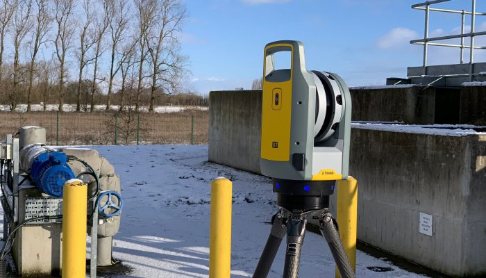
We also carry out post processing of data to provide a 3D view of the ground beneath. 3D data can help visualise complex sites that have a number of utilities at varying depths. The equipment used by our surveyors allows them to carry this out on site as well as providing a more in-depth analysis for those processing data in the office.
Rather than carry out one size fits all ‘blanket surveys’, we advocate an investigative and interpretive methodology where all aspects of the project area and survey data are considered and incorporated into our procedure. This connected approach aims to avoid the simple, and often incorrect, delineation of signals and reflections that some predetermined and solely grid-based survey specifications may yield.
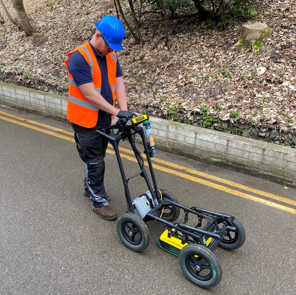
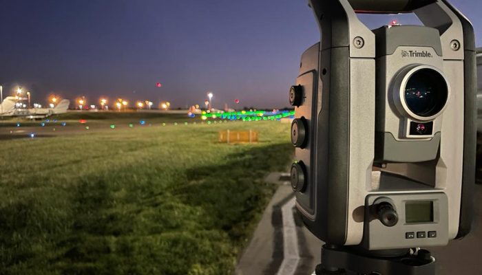
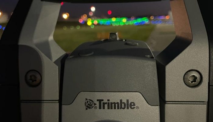
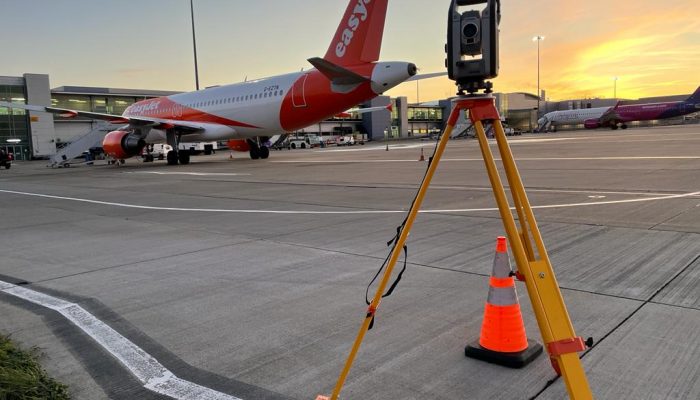
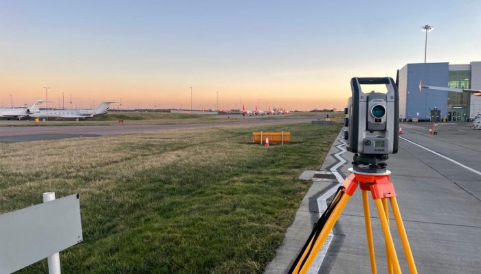
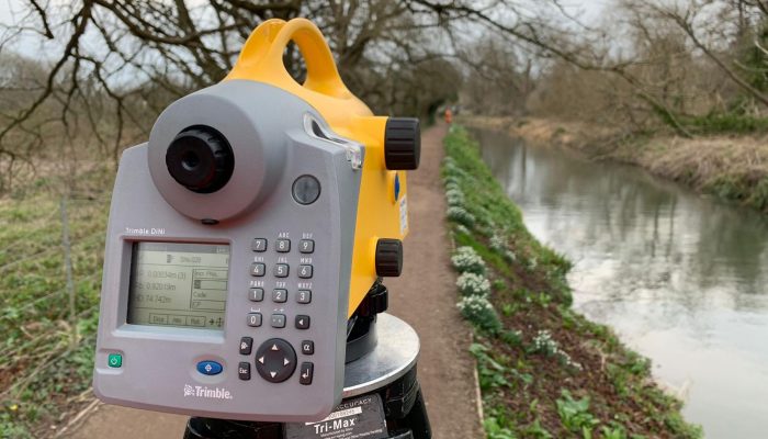
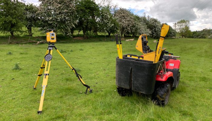
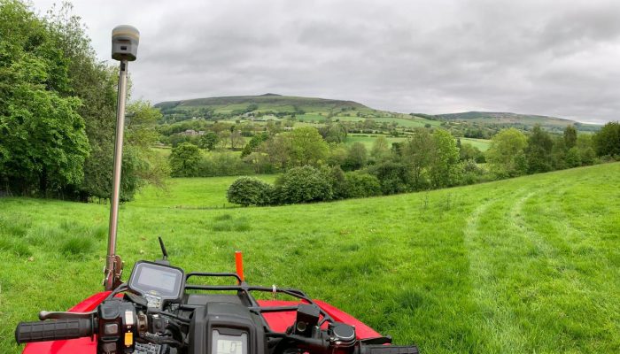
Services are detected using a combination of electro-magnetic transmitters and locators, flux gate magnetometer, pulse induction metal detector and ground penetrating radar (GPR). This information is coordinated using robotic total station and RTK GPS / GNSS for office-based processing and drawing production.
Get in touch with us today to find out more.

The consistent high calibre of our results and the diligence of our surveyors has earned Terravision a widespread reputation for producing the most comprehensive and reliable of surveys.