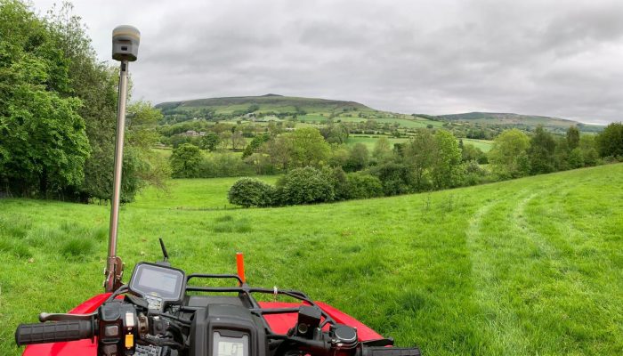
Drone surveys are used to capture data at different points that are not accessible to humans, especially those with challenging terrains. They are beneficial as they collect large amounts of data in a shorter timeframe than traditional survey techniques and they allow the surveyor to collect data in a safer manner.
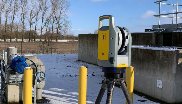
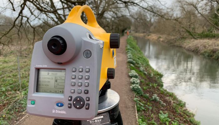
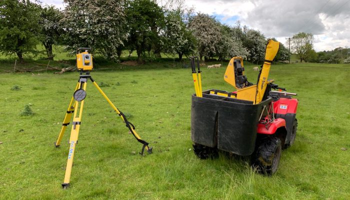
Terravision have several drones from fixed wing capable of covering large distances to multi-rotor for those hard-to-reach areas. The data is processed by a state-of-the-art system that will provide 10mm accuracy on hard surfaces.
We can provide a variety of different outputs depending on the project’s requirements, including 2D and 3D Orthomosiac Maps, LiDAR Point Clouds and 3D Models.
Contact us today to see if your project can benefit from a drone survey.
Photogrammetry is the science of obtaining accurate measurements through photographs by analysing the change in position from two images. The photos are taken from different angles and locations to allow for precise calculations that help us gather the data we’re looking for, before being used to create maps and 3D models to visualise the data.
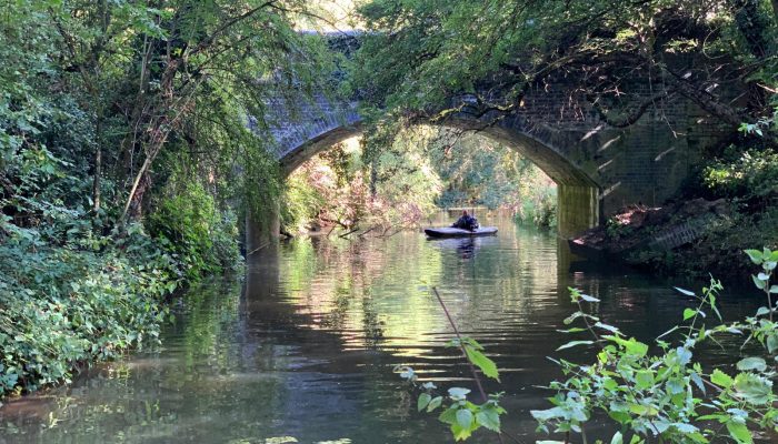
Photogrammetry captures an actual and permanent record of a particular condition and provides data across a wide mapped area, which allows both topographic and cultural
features to be brought together in one place. It is useful in locations that are difficult or unsafe to access and it allows us to gather data without disturbing any on-site activities.
Drop us a message to see how we can use photogrammetry to help you.

The consistent high calibre of our results and the diligence of our surveyors has earned Terravision a widespread reputation for producing the most comprehensive and reliable of surveys.