A topographic survey is an accurate representation of a site which is scaled and detailed to show all the natural and manmade features and their levels. Permanent features such as buildings, fences, trees and streams accurately define the ground and its boundaries, whereas land contours and spot levels show the elevation of the terrain.
2D & 3D Outputs
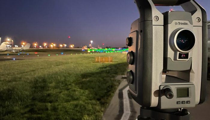
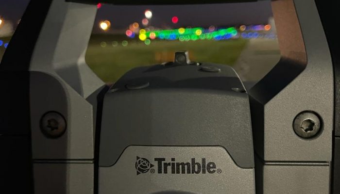
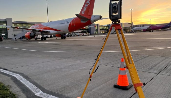
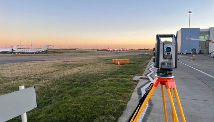
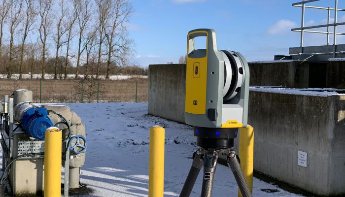
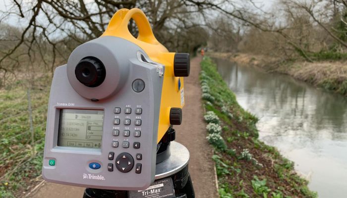
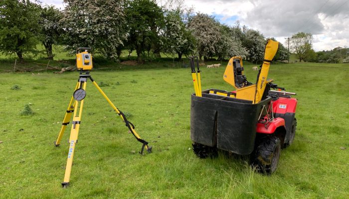
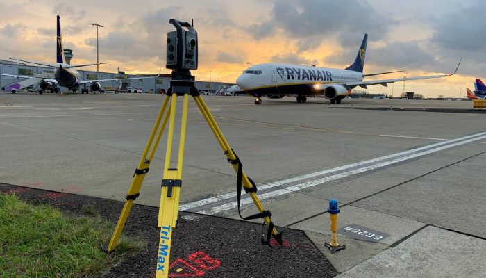
Terravision use different topographical survey methods such as drones and laser scanning to present topographical survey data in multiple formats, subject to our clients’ needs. Our standard output is a 2D drawing in AutoCAD dwg but we can also present 3D data in Revit.
20 Years' Dedicated Experience
Topographic Surveys
Topographic surveys are used by homeowners, architects, engineers, building developers and others to learn extensively about their site and enable those who are interested in investing in it to accurately visualise their site and help bring forward development.
Our topographical surveys help guide decisions for planning new buildings, redesigning drainage schemes and repositioning site boundaries. They reduce the risk of any planned development by providing an accurate picture of a site, thus reducing the risk of costly errors which could be made without first obtaining a topographical survey.
We always aim to help our clients find the right solution tailored for their project so get in touch with us today to see what we can do for you.