Terravision operates nationwide in a huge variety of unusual and challenging locations. Specialising in surveying for public sector and energy sector (including nuclear) projects and Ministry of Defence sites, we have a team of security vetted personnel used to working on sensitive projects. We are proud to be approved specialist subcontractors for both Amey and Interserve on their defence contracts and have vast experience working with other contractors on the Defence Infrastructure Organisation supply chain.
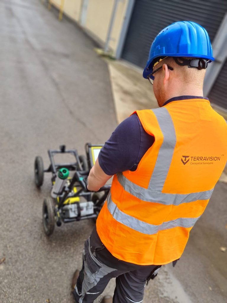
Terravision uses sophisticated remote sensing instruments from the world’s leading manufacturers. This geophysical survey equipment is used to target buried utilities and infrastructure and form accurate mapping of pipe and cable positions, depths and routes. The results from our investigations provide a wealth of invaluable information for use prior to excavation, which can be especially advantageous when used as part of a feasibility study, or when incorporated within the design and planning stage of a project.
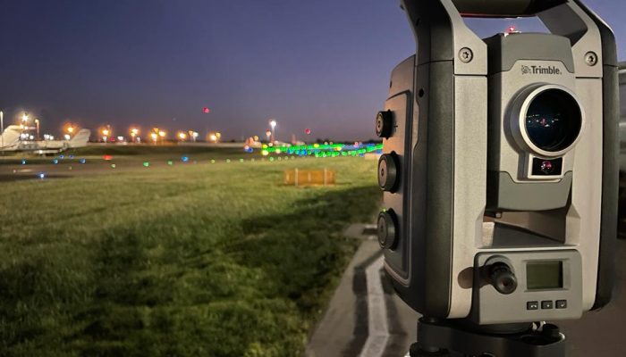
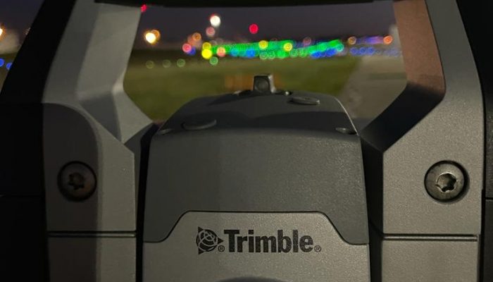
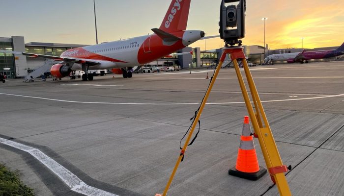
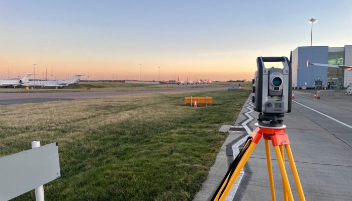
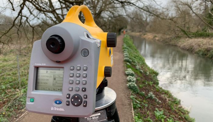
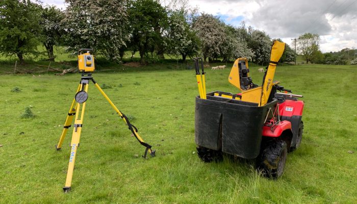
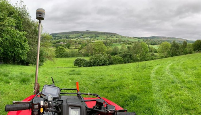
A topographical survey is the basis for any design process as it provides information about all aspects of a site. Modern planning requires more 3D information so Terravision can use a multi-discipline approach that will include traditional theodolites as well as laser scanning and drones.
A measured building survey is an accurate representation of a building which can consist of floor plans, elevations and internal sections. As the requirements for buildings to become more efficient, more dynamic and incorporate more diverse designs, the drive towards streamlining the design process is intensifying.
Terravision have several drones from fixed wing capable of covering large distances to multi-rotor for those hard-to-reach areas. The data is processed by a state-of-the-art system that will provide 10mm accuracy on hard surfaces. Large and hard to reach areas can be surveyed in a short period of time, reducing costs and improving efficiency.
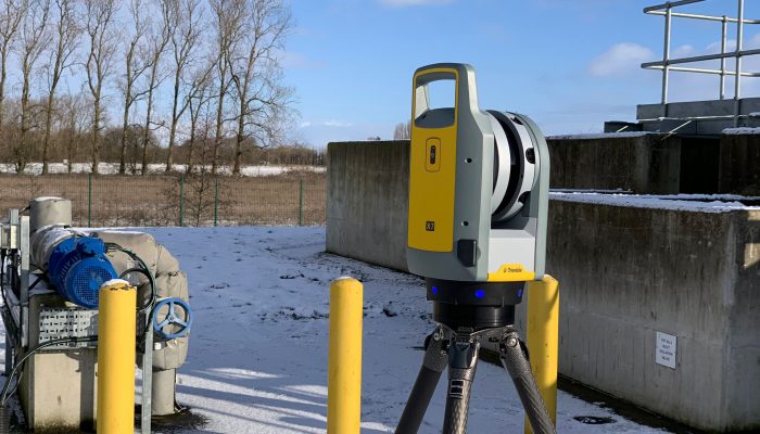
Terravision have a number of laser scanners that are used to gather detailed information to produce 3D models. We also have the ability to scan from the surface to a depth of 5m, which enables us to include detailed scans of underground routes that complement the utility scan whilst also allowing us to open up underground routes that would otherwise require confined space entry.


Terravision Ltd was established in 2001, formed on a foundation of understanding and professionalism gained from company director, Digby Milnes’, experience in non-intrusive locating and mapping of underground utilities since 1993.
We value our clients greatly and feel privileged to have developed lasting business relationships with many of the UK’s leading consultant engineering, design and construction companies.
At Terravision, the safety and welfare of our personnel, the public and the environment is considered the most critical part of delivering a successful survey.
Following the appraisal of our Quality Management System during July 2009, Terravision Ltd achieved certification to the requirements of BS EN ISO 9001. The company has maintained ISO 9001 accreditation ever since and now holds BS EN ISO 9001:2015 certification.

The consistent high calibre of our results and the diligence of our surveyors has earned Terravision a widespread reputation for producing the most comprehensive and reliable of surveys.